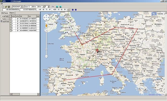
Easy adding, modifying, deleting geographic objects (WayPoints, Tracks and TrackPoints). Browsing latitude, longitude, elevation, time, speed, direction parameters for TrackPoints. Track filtering.
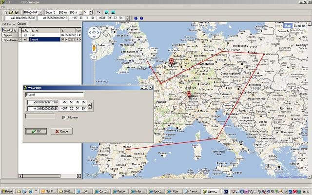
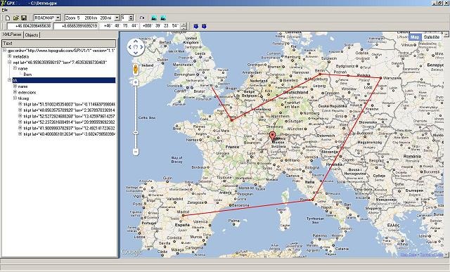
Viewing geodata at the xml-tree, in tabular form and in Google Maps. Viewing and changing current Coords and Zoom. Fit geographic objects into screen. Smooth scrolling map while changing current cords. Saving gpx source files, captuiring maps in jpg and html.
The program has built-in geoconverter. You can open and view files containing geodesic data in form of list of points in standart projections as Gauss-Kruger or UTM with automatically converting it to geodesic latitude-longitude coord systems. Additionally you can insert to the program keys of local projections and coord systems and in this case you will be available to view files containing geodesic data in local projections.
Beta version of GPXStudio and sample gpx file is available for free downloads in File Catalog section.
Just load, unpack and run GPXStudio.exe, click File|Open and select gpx-file for viewing and editing it.